
See the bigger picture.
Aerial photography that gives property, landscape and projects their proper sense of place.
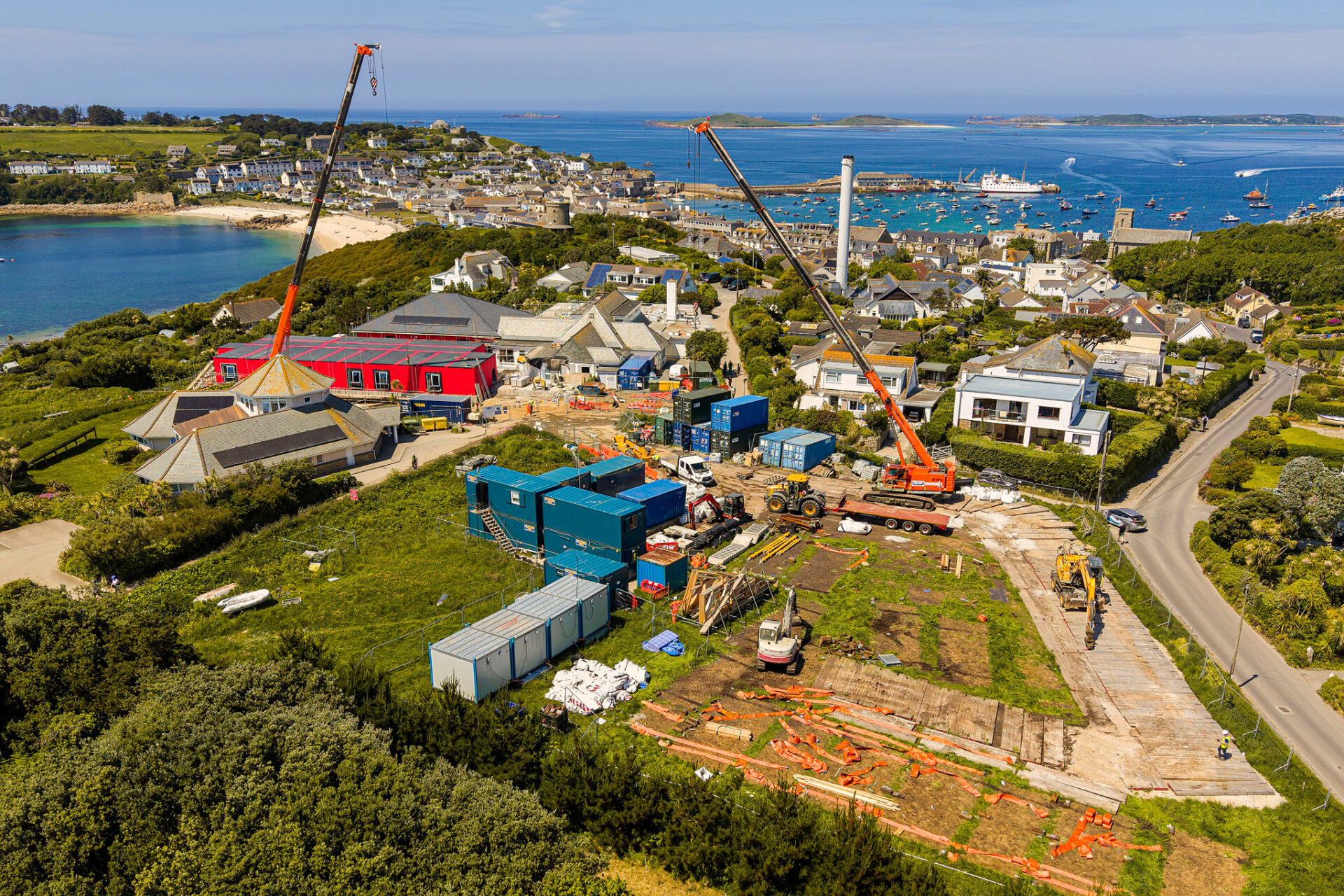
Some things just don't make sense from the ground. A large property, a development site or a stretch of land can be much easier to understand from above. I use aerial photography across Cornwall and the South West to show the size, layout and setting of a place, alongside ground-level photographs when the brief calls for both.
Through the lens.
A wider look at the assignments, people and places behind this work.
A clear view of your project.
For property, aerial photographs can show buyers or visitors how a building sits in its surroundings. For construction, land management and heritage sites, they can help document progress and give context to areas that are hard to capture from the ground. I plan each flight around the location, weather and the photographs you need.
Get in touch ↗Tell me what needs an aerial view.
Let me know what you need, where it will be used and when you need it.